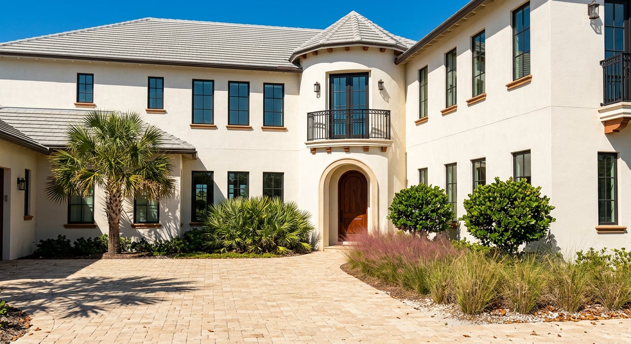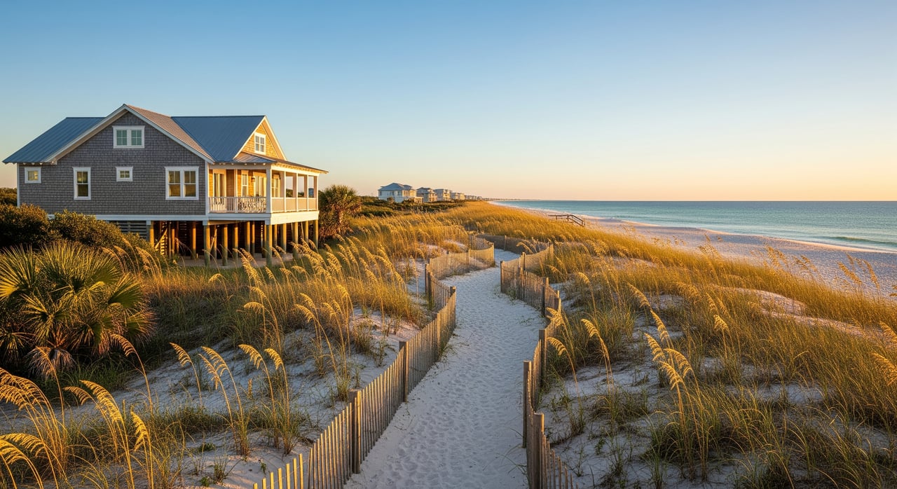
Picture a beach skyline that stays low and quiet. On St. George Island, that look is not an accident. It comes from a stack of coastal rules and local planning choices that keep homes spread out, heights modest, and views more predictable. If you are weighing a purchase or preparing to sell on SGI, understanding low‑density zoning can help you protect value and avoid surprises.
In this guide, you will learn what low‑density means in plain English, how the rules work on the ground, and what to check before you commit. You will also see how these factors shape pricing, views, and renovations. Let’s dive in.
What low‑density means on SGI
A barrier island with built‑in limits
St. George Island sits in Franklin County on Florida’s Gulf Coast. The eastern end is protected as St. George Island State Park, which removes a large area from private development. Like many barrier islands, SGI also lives with dunes, wetlands, and storm exposure that naturally restrict where and how you can build. These conditions are a key reason the island reads as low density compared with busier Gulf settings.
The layered planning framework
Several layers of regulation shape what can be built on SGI:
- Franklin County’s comprehensive plan and land development code set zoning, permitted uses, minimum lot sizes, setbacks, and height limits.
- Florida’s Coastal Construction Control Line program regulates construction close to the beach to protect dunes and shorelines.
- FEMA flood rules require elevation and compliance with coastal high‑hazard standards. You can look up flood zones and Base Flood Elevations in the FEMA Flood Map Service Center.
- Environmental protections, like turtle‑friendly lighting and dune conservation, apply to many beachfront properties. See the Florida Fish and Wildlife sea turtle lighting guidance for context.
Together, these controls keep buildings lower, farther apart, and more sensitive to the coast.
The tools that keep density low
Zoning and permitted uses
Zoning assigns every parcel to a district. Many coastal districts favor single‑family homes or large minimum lot sizes. That limits the number of dwelling units per acre and discourages mid‑rise, multiunit buildings. Always confirm the exact zoning designation and permitted uses for the parcel you are considering.
Height limits and the skyline
Maximum building heights are common on the island. Caps stated in feet or stories keep the skyline modest and reduce the visual impact from the beach or bay. There may be exceptions for features like stair towers or roof equipment, and height limits can vary by location. Verify the specific number for your lot before planning a second floor or rooftop space.
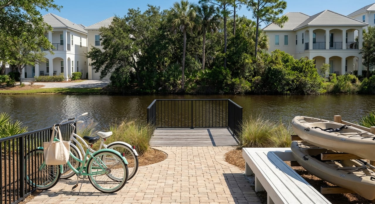
Setbacks and lot coverage
Setbacks and lot coverage rules define the buildable envelope. Larger setbacks, lower lot coverage, and open space requirements leave more distance between homes. That extra breathing room is a big part of SGI’s low‑density feel, even when lots are not oversized.
CCCL proximity and dune protection
Florida’s CCCL rules add coastal‑specific limits near the waterline. Seaward construction can require special permits, and dune preservation can shape where you place a home, pool, or walkover. Review whether your lot is affected by the CCCL program before you design or purchase.
Flood zones, elevation, and design impact
Many SGI properties sit in mapped flood zones. Elevated construction on pilings, plus freeboard, is often required to meet FEMA standards. Elevated homes change the usable space on the ground level and can affect the number of habitable stories. Use the FEMA Flood Map Service Center to check your flood zone and Base Flood Elevation, then confirm local elevation rules.
Wildlife and lighting standards
Coastal wildlife protections influence exterior lighting, landscaping, and beach access features. Turtle‑friendly lighting rules are common on Gulf beaches and help maintain a low‑glare nighttime environment. The FWC lighting guidance is a helpful reference when choosing fixtures and shielding.
Infrastructure capacity and design standards
Infrastructure limits can also cap intensity. Availability of water, sewer, stormwater capacity, and road access all affect what is feasible. Some communities layer on design standards to preserve coastal character, which can reduce visual massing even when a code height is technically allowed.
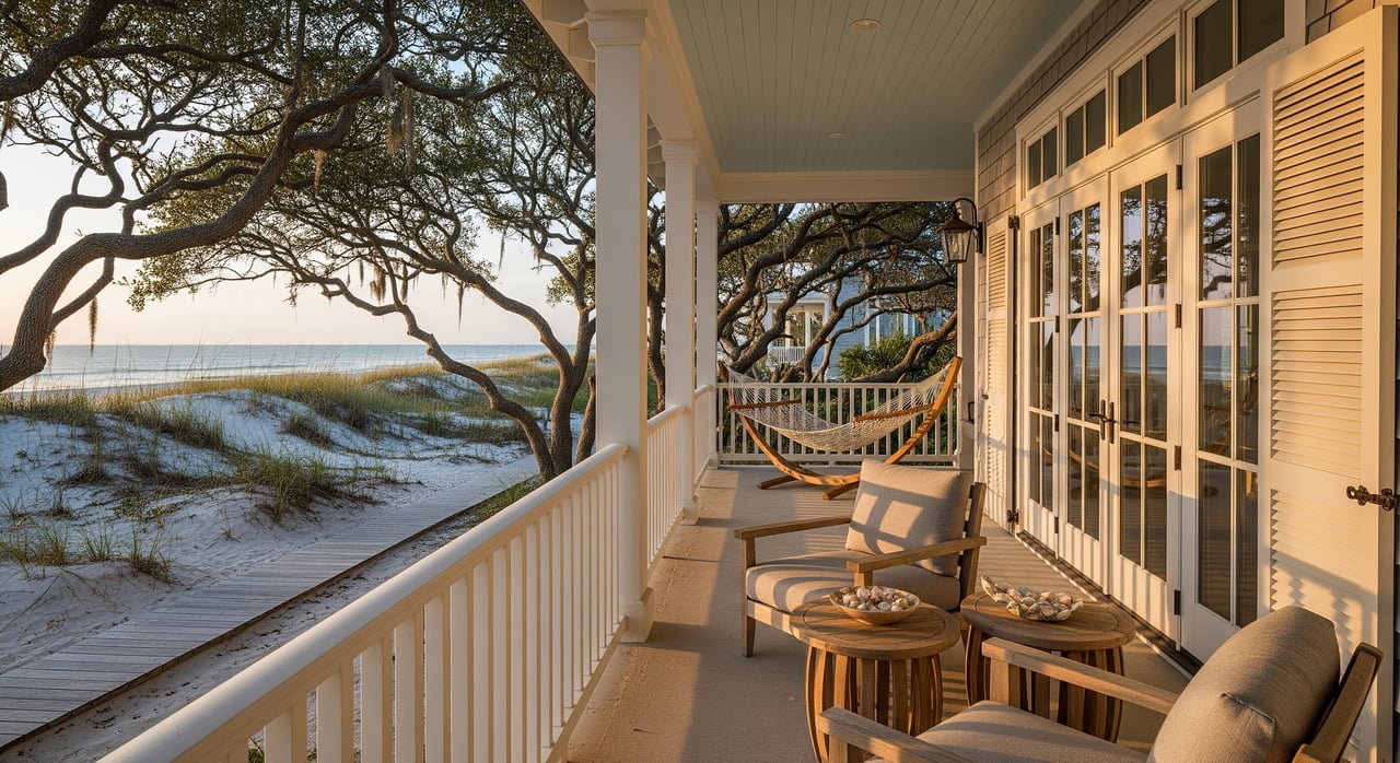
Views and sightlines: how they are preserved
Low‑density controls help maintain open views and a calm horizon. Height caps and building envelopes keep rooflines below a set profile. In some areas, view easements or mapped access corridors protect sightlines from being blocked. Vegetation rules can also limit hedge or tree height within a recorded view easement.
For you, this means more predictability. While no regulation can promise a view forever, a parcel surrounded by consistent height limits and setbacks is less likely to face a sudden wall next door. If views matter to you, verify neighboring entitlements, look for any recorded view easements, and confirm the local district height limit.
What this means for buyers
Low density often equals scarcity. A large state park footprint, coastal setbacks, and single‑family zoning limit new supply on SGI. When supply is tight and demand for a quiet island experience stays steady, per‑home values tend to be supported. Properties with open water views or larger lots often command premiums.
Expect permitting to be more complex than inland markets. Elevated construction, wind‑resistant design, and coastal permits can add time and cost. Flood insurance and wind coverage are also key parts of the ownership picture. Elevation and code compliance can influence insurability and premiums, so review your flood zone and mitigation features early.
If you plan to rent, confirm short‑term rental rules that may exist through HOAs or local policies. Occupancy caps, parking limits, or septic capacity can affect revenue projections. A clear understanding of these details will help you model realistic returns.
What this means for sellers
On a low‑density island, the right preparation can unlock value. Buyers pay for clarity. If your parcel has favorable entitlements, permitted plans, or recent surveys that confirm height, setbacks, or CCCL compliance, you can widen the buyer pool and strengthen your position.
Premium presentation also matters. High‑value second‑home buyers respond to lifestyle storytelling that highlights privacy, view resilience, and beach access, paired with factual proof of buildability. If you can document compliant lighting, dune‑friendly access, flood elevation, and recent improvements, you reduce buyer friction during due diligence.
Smart due diligence checklist
Use this quick list to frame your research and conversations with licensed professionals:
- Parcel identity
- Confirm the parcel ID and legal description from the county property appraiser.
- Zoning and density
- Identify the zoning district and any overlay that applies. Note permitted uses, minimum lot size, maximum units per acre, and height limits.
- Building envelope
- Review front, side, and rear setbacks, lot coverage or impervious limits, and open space requirements.
- Flood and elevation
- Look up the flood zone and Base Flood Elevation in the FEMA Flood Map Service Center. Ask about required freeboard and whether the lot lies in a coastal high hazard area.
- Coastal overlays
- Check whether the lot falls within the Coastal Construction Control Line program, and whether dunes, wetlands, or conservation easements are present.
- Utilities
- Verify water and sewer availability or septic constraints, plus any connection limits.
- Environmental standards
- Review sea turtle lighting and dune protection rules using the FWC guidance.
- Recorded documents
- Search for HOAs, neighborhood covenants, and any recorded view or access easements.
- Permitting and timelines
- Ask the county building department about permits and typical coastal review timelines. If near the shore, confirm whether state permits are required.
Rebuilds and renovations: set expectations
If a storm damages a structure, rebuilds must meet current codes. That often means elevated foundations, updated wind standards, and dune‑friendly placement that may not match the older footprint. The Florida Building Commission provides statewide code resources, and local staff can explain how those rules apply on SGI. Plan for updated elevation and structural requirements if you intend to renovate or replace a home.
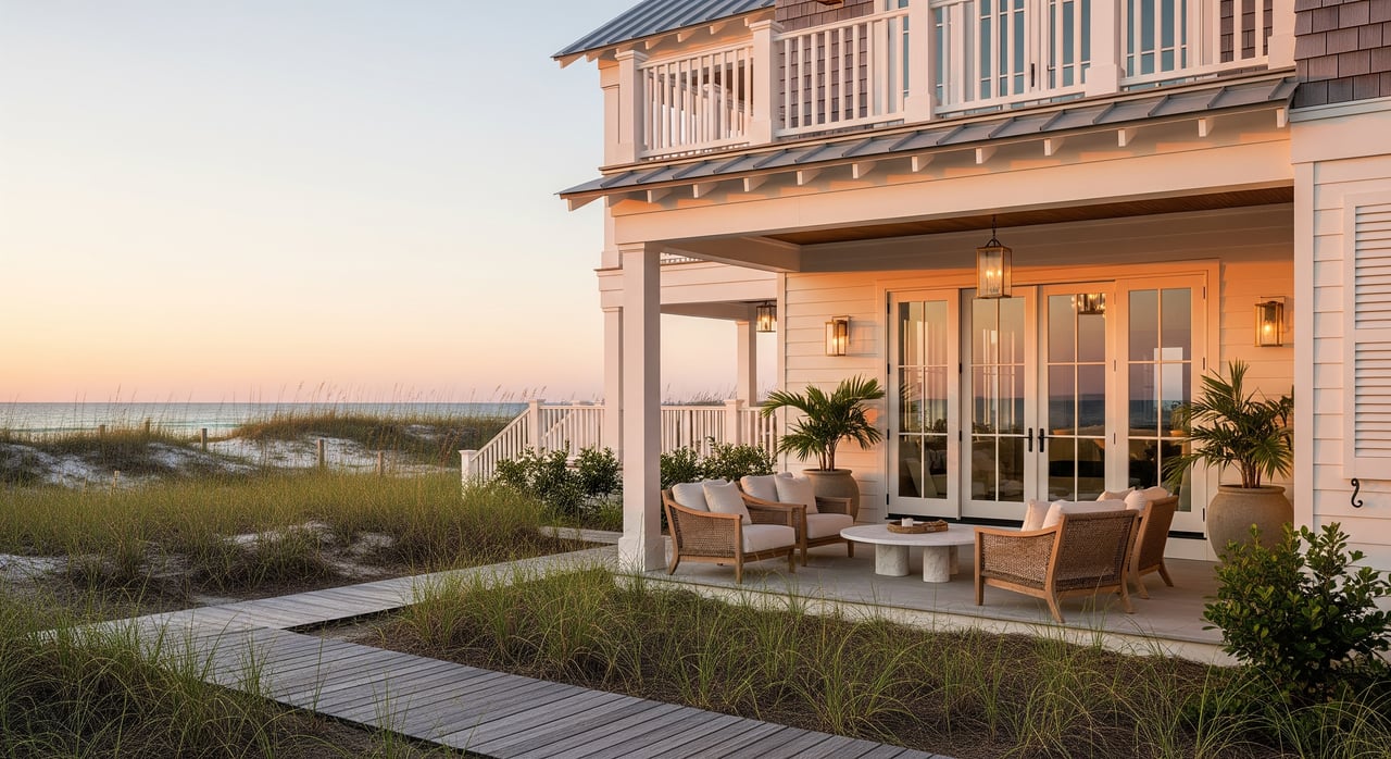
SGI vs. denser Gulf settings
You will feel the difference on SGI the moment you arrive. Modest building heights, wider spacing, and protected natural areas keep the island quiet and visually open. In denser beach towns, you may see more multiunit buildings, busier roads, and taller profiles. Neither profile is right or wrong. It is about fit. If your priority is privacy, a low horizon, and a slower pace, SGI’s low‑density framework can align with your goals.
The bottom line
Low‑density zoning on St. George Island is not a single rule. It is a network of local zoning, coastal protection, flood regulation, and environmental standards that shape everything from skyline and views to permitting and costs. For buyers, that means scarcity, predictability, and a premium for well‑located parcels. For sellers, that means the chance to showcase privacy, view resilience, and compliant improvements to command attention.
If you want a seasoned partner to help you evaluate coastal rules, position a listing, or compare SGI with other Gulf markets, connect with 850 Properties. Our boutique team pairs market insight with polished marketing so your next move is both informed and rewarding.
FAQs
On SGI, does low‑density zoning allow a second floor?
- Not necessarily restricted, but it depends on height limits, setbacks, and elevation requirements for your parcel, so confirm the district standards before designing.
Are Gulf views guaranteed for SGI homes?
- No rule can promise a forever view, but height caps, setbacks, and recorded view easements reduce risk, so verify neighboring entitlements and any easements.
How does the CCCL affect beachfront building on SGI?
- The Coastal Construction Control Line program regulates construction near the beach, which can require extra permits and dune‑friendly placement.
What should investors know about short‑term rentals on SGI?
- Rental potential can be strong seasonally, but HOAs or local policies may set occupancy, parking, or septic limits, so review those rules before you model revenue.
After a storm, can I rebuild the same footprint on SGI?
- Rebuilds must meet current codes and coastal rules, which can change elevation, footprint, and costs, so check the FEMA map portal and the Florida Building Commission for requirements first.