Ever dreamed of paddling from your backyard to the beach? Along 30A, the coastal dune lakes around Grayton Beach make that lifestyle possible, and Western Lake sits at the heart of it. If you are exploring a lakefront or lake‑adjacent home here, you likely have questions about water levels, salinity, flood risk, access, and long‑term views. In this guide, you will learn what coastal dune lakes are, how Western Lake behaves through the seasons, how that impacts daily life, and what to verify before you buy. Let’s dive in.
Coastal dune lakes explained
Coastal dune lakes are shallow lakes that sit landward of the dunes and intermittently exchange water with the Gulf of Mexico. They can be fresh, brackish, or salty at different times, depending on rainfall, groundwater, evaporation, and whether the lake connects to the Gulf.
These lakes are globally rare and form a distinctive cluster along Florida’s 30A corridor in Walton County. The mix of freshwater, brackish, and marine influences creates diverse plant and wildlife communities and a unique setting for waterfront living.
Western Lake borders Grayton Beach and the surrounding dune landscape. Its seasonal water and salinity shifts shape local recreation, views, and flood behavior. Understanding the lake helps you anticipate changes you might see from your deck or along your paddle route.
How Western Lake works
Hydrology and salinity
Western Lake’s water chemistry changes with the weather. Heavy rains and groundwater inputs tend to freshen the lake, while dry periods and Gulf connections can raise salinity. Expect visible changes in water color and clarity through the year.
Intermittent Gulf connections
Natural breaches to the Gulf can occur during high tides, storms, or seasonal overwash. In some periods, managers allow the inlet to close; in others, an inlet may be opened mechanically to lower water levels or address water quality concerns. These choices affect salinity, lake level, and shoreline shape.
Seasonal variability
During the rainy season, lake levels are usually higher and salinity lower, which can expand paddling access. Droughts or storm‑driven connections may lower the water level or increase salinity quickly. Your on‑water experience can feel different from spring to late summer and into fall.
What this means for your lifestyle
Recreation and access
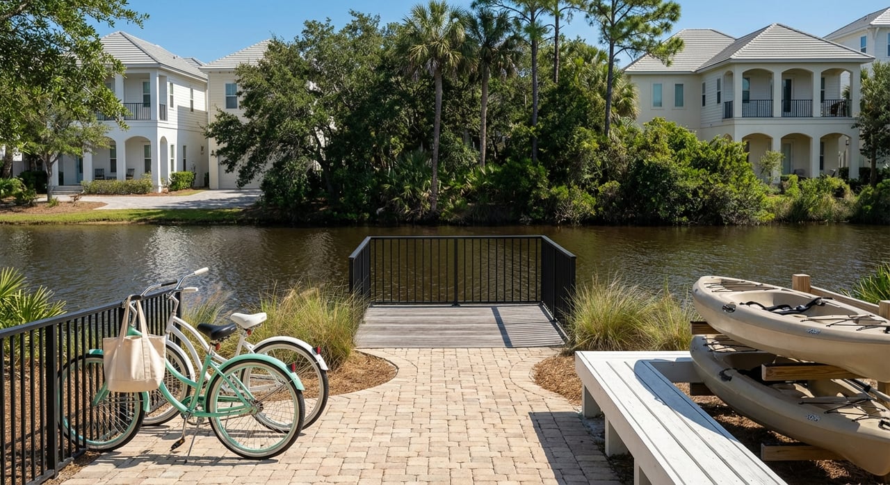
Paddleboarding, kayaking, small non‑motorized boating, fishing, and birdwatching are common on Western Lake. Many access points sit near parks and trails, including Grayton Beach State Park. Some shorelines are private. Confirm whether a specific parcel offers legal water access, dock rights, or nearby public put‑ins.
Views and soundscape
Dune ridges and maritime vegetation frame sheltered water vistas that feel more intimate than open Gulf panoramas. Vegetation can improve privacy and buffer wind and surf noise. Expect a quieter soundscape punctuated by birds, wildlife, and occasional recreational users.
Seasonal experiences
After periods of rain, paddling routes often expand. Lower water can limit navigation in shallow coves. Wildlife sightings and fishing can shift with salinity and temperature. Plan for a dynamic lake that rewards attention to seasons and recent weather.
Property and neighborhood considerations
Privacy, density, and preserved land
Shorelines around coastal dune lakes often combine single‑family homes, cottages, and conservation parcels. Lower density and preserved buffers can enhance privacy and a sense of place. Regulations may protect dunes and native vegetation near the water.
Access, trails, and foot traffic
Local roads and trails pass through dune and marsh environments. Proximity to a state park or trailhead can mean more foot and bike traffic at peak times. If you value quiet frontage, consider how nearby access points and parking areas influence activity around your home.
View permanence and vegetation
Dunes migrate over time, and native vegetation can grow or be restored under conservation rules. These natural shifts, and any applicable setbacks, can change view corridors. Ask for the current rules on vegetation trimming and shoreline structures before planning improvements.
Risks and how lakes are managed
Flooding, storms, and erosion
Lake‑adjacent properties sit in low‑lying coastal zones and may fall within FEMA flood designations. Storm overwash or an inlet opening can raise lake levels and salinity rapidly and may reshape shorelines. Natural erosion or past shoreline alterations also affect long‑term stability.
Management approaches
Some communities favor allowing natural breaching and closure cycles. Others support mechanically opening or closing an inlet to address flooding or water quality. Each approach has tradeoffs for ecology and property protection. Policies can vary by lake and over time.
Who to contact for policy and data
For current guidance, reach out to: Florida Department of Environmental Protection, Walton County Natural Resources and Coastal Management, Grayton Beach State Park staff, Northwest Florida Water Management District, Florida Fish and Wildlife Conservation Commission, and the US Geological Survey. Local environmental groups and lake associations can also offer monitoring history and stewardship opportunities.
Buyer due‑diligence checklist
Use this quick list when evaluating a home near Western Lake or another Grayton Beach dune lake.
Documents and disclosures
- Seller disclosures on flooding, storm damage, shoreline modifications, and any known water‑quality events.
- Local ordinances on setbacks, vegetation protection, and permitted shoreline structures.
- Any lake‑specific management plans or neighborhood guidelines that affect the shoreline.
Water and environmental conditions
- Recent water‑quality records for nutrients, algal blooms, and salinity trends.
- Inlet and breach history, including mechanical openings and notable storm overwash events.
- Shoreline condition, erosion history, and presence of dunes and native vegetation.
Property and infrastructure
- FEMA flood zone, Base Flood Elevation, and finished floor elevation. Ask about community flood‑mitigation projects.
- Insurance details, including flood and wind coverage options and past claims.
- Septic versus sewer status, maintenance records, and any requirements for future sewer connection.
- Access rights, easements, and conservation buffers that could affect use or views.
Recreation and community rules
- Boat and launch restrictions, including motor rules and boat size limits.
- HOA or CCR provisions about docks, watercraft, lighting, and landscaping that influence lake health.
Local contacts and data sources
- Walton County Natural Resources or county GIS for shoreline, elevation, and zoning layers.
- Grayton Beach State Park for public access locations and park‑related plans.
- FDEP or county monitoring reports for water quality.
- Any local lake association or watershed group for history and community practices.
Visual guide to Western Lake
Use these visuals to understand the setting and buyer implications. Include captions and alt text for accessibility.
Map: Western Lake and Grayton Beach
Caption: Western Lake and Grayton Beach — lake, dunes, and nearby neighborhoods.
Alt text: Map showing Western Lake behind the dunes, Grayton Beach State Park boundaries, 30A, and adjacent residential areas.Cross‑section schematic of a dune lake
Caption: How a coastal dune lake sits behind the dunes, with intermittent Gulf connections, groundwater influence, and typical home locations.
Alt text: Diagram labeling Gulf shoreline, dune ridge, ephemeral inlet, lake basin, groundwater arrows, and nearby residential lots.Seasonal salinity and water‑level timeline
Caption: Typical seasonal pattern in dune lakes. Rainy season brings higher lake levels and lower salinity; drought or breach events can raise salinity and lower water levels.
Alt text: Line chart with two lines showing lake level and salinity across seasons.Recreation and risk overlay
Caption: Paddling routes and public access near Western Lake with an overlay of areas that show higher flood potential on county hazard maps.
Alt text: Aerial image with icons for launch points, paddle paths, and shaded flood‑risk zones.Inlet event case example
Caption: Managed inlet opening versus natural closure, illustrating quick changes in lake level and salinity and the management tradeoffs considered by local agencies.
Alt text: Before‑and‑after images or schematic showing water level and salinity differences following an inlet event.
Next steps
Coastal dune lakes offer a rare blend of quiet water, wildlife, and easy access to the Gulf. They also come with dynamic water conditions and specific rules that reward careful due diligence. If you are weighing a home around Western Lake, start with your checklist and current data from county and state sources. For neighborhood context and listings, explore our in‑house community resources for Grayton Beach.
Ready to find the right lakefront or lake‑adjacent home and navigate the details with confidence? Connect with 850 Properties for local guidance, buyer representation with advisory insight, and a clear plan to secure the property that fits your goals.
FAQs
What is a coastal dune lake near Grayton Beach?
- A coastal dune lake is a shallow lake behind the dunes that can exchange water with the Gulf, shifting between fresh, brackish, and salty conditions depending on weather and inlet openings.
How does Western Lake connect to the Gulf and why does it matter?
- Western Lake can open to the Gulf naturally during storms or high water or through managed actions, which can quickly change lake levels, salinity, and shoreline conditions that affect recreation and nearby properties.
Are motorboats allowed on Western Lake?
- Many users paddle or kayak, and rules vary by location; check local ordinances and any HOA restrictions about motors, boat size, and launch points before you buy or launch.
What should I know about flood insurance for a Western Lake home?
- Confirm FEMA flood zone, Base Flood Elevation, finished floor elevation, and available coverage options, then review premiums and past claims to understand risk and cost.
How do inlet openings affect water quality and wildlife?
- Inlet openings can lower water levels and increase salinity, which may shift fish and bird communities and influence algae dynamics; patterns vary by season and management decisions.
Who manages policies and data for Western Lake?
- Key contacts include the Florida Department of Environmental Protection, Walton County Natural Resources, Grayton Beach State Park, the Northwest Florida Water Management District, the Florida Fish and Wildlife Conservation Commission, and the US Geological Survey.